
Case5-September-2017
The Coastal Zone can physically and geographically be described as a corridor where the land and adjacent ocean meet. Functionally, it is the area of interaction between land and sea where production, consumption, recreation and exchange processes of climate change take place. Ecologically, the coastal zone is an area of dynamic biological, hydraulic, geological and chemical activities that support various human activities.

India has an area of 2.02 million sq.km. along its 7,516 km coastline. The continental shelf extends to about 372,424 sq.km. The exclusive economic zone covers an area of 214.12 million sq.km into the sea. The coastal part of the Indian mainland itself covers an area of approximately 5422 km. Nine states, two union territories and two island territories lie on the coast. Seventy districts lie in the coastal zones. As many as 171 million people are living in the coastal districts. It forms 14.2% of the total population.
The coast of Tamil Nadu along the south-eastern side of India has 12 districts on its coast, the State capital Chennai and the union territory of Puducherry lie along the coastline, having high population density, which ranges from as low as 320 people per sq.km to more than 3000 people per sq.km. The other districts in Tamil Nadu have population density varying between 300 and 800 persons per sq.km. The coastal region of the State falls into the following agroclimatic zones – North Eastern Zone, Cauvery Delta Zone and Southern Zone.
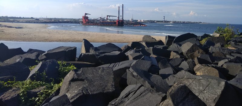
The coastline of Tamil Nadu constitutes about 15% of the total coastal length of India with the varied ecosystem, natural resources, diversified species and livelihoods. The Tamil Nadu coast comprises the Coromandel Coast from Pulicat Lake in the north to Point Calimere and the Gulf of Mannar, which extends up to the tip of Kanyakumari and this is the southernmost point of the Indian Peninsula. This entire coastal region is well-known for its wide range of ecosystems comprising sandy shores, estuaries, mangrove forests, seagrass beds, seaweeds and coral reefs. Fringing and patch reefs are present near Rameswaram and the Gulf of Mannar. Pitchavaram, Vedaranyam and Point Calimere have well-developed mangrove systems. In Tamil Nadu, about 46 rivers drain into the Bay of Bengal forming several estuaries and coastal lagoons. The Cauvery River and its tributaries form a large delta supporting extensive agriculture. The other landforms of the Tamil Nadu coast are rock outcrops of Kanyakumari, mudflats, beaches, spits, coastal dunes and strand features.
The state’s coast is not only rich in a variety of resources, but is also highly developed, with extensive infrastructure assets such as fisheries and fishery infrastructure, agriculture, ports and harbour, tourism, major energy sectors including nuclear, thermal and wind power installations, industries including saltpan, water supply infrastructure installations including desalination plant, minerals, oil and natural gases. These infrastructures provide various livelihoods to the coastal habitants.
Agriculture plays an important role in the state’s economy. In coastal areas, the agricultural production makes an extremely important contribution to the local economy and to national agricultural production. It provides food and raw materials to the non-agricultural sectors. Soils of coastal agro eco-systems are deep to moderately deep, narrow coastal plains near the sea shore are sandy and inland plains are gravelly clay and gravelly loam. The most extensive and fertile Deltaic alluvium occurs in Nagapattinam district and a belt of coastal alluvium covers extends from Chennai to Kanyakumari. The temperature is hot, moist, semi-arid to dry sub-humid with a mean annual rainfall of 1000 to 1500 mm. Agriculture is dominated by rainfed, canal and tank irrigation.
The coastal districts abound in green paddy fields, tall coconut groves, vast gardens of mango, cashew, casuarinas, Palmyra, banana, cumbu, ragi, black gram, green gram, cotton, groundnut, gingelly, chilly, and coriander are cultivated. Paddy is the major agricultural crop in the coastal areas, particularly in the Cauvery delta districts. More than two-thirds of the farming community consists of small and marginal landholders. Agricultural work is the major livelihood for the agricultural labourers, supplemented by multiple livelihoods such as seasonal fish catch in the rivers, backwaters, making of coconut leaf thatches, copra preparations, etc. Horticultural crops also play an important part in the ecosystem and the livelihoods. Coastal agriculture plays a vital role in reducing the pressure to the continental shelf by diversifying the livelihoods on agriculture activities instead of totally concentrating on fishing activities by the seashore habitants.
The agriculture dependents were mostly small and marginal farmers. In most habitations, a large proportion of farmers have very small and scattered landholding, with a large proportion of houses being thatched or government colonies, reflecting their poor economic status.
In terms of distribution of dry and wetlands, the proportion of wetlands with marginal farmers is marginally higher than those of the dry land. These wetlands in most cases are canal irrigated and present close to water bodies. These lands are highly vulnerable to flood-related disasters, especially in Nagapattinam and Cuddalore districts. Agriculture in the coastal area is under tremendous pressure with the dams and check dams constructed across the river , playing a vital role in controlling water availability.
Salinisation in these areas is the result of improper management of canal irrigation resulting in the rise of the water table and consequent accumulation of salts in the root zone in arid, semi-arid and sub-humid (dry) conditions. Ingress of seawater through backwater and estuaries because of close proximity to the ocean and use of high-salt containing groundwater for irrigation complicates the agriculture.
Low and skewed distribution of rainfall and heavy downpour in a few days, especially during northeast monsoon and consequent flash floods in frequent years and inadequate infrastructure to control and conserve the flood water, damages the standing crops heavily and spoils the agricultural production.
The coastal agricultural communities have faced a number of disasters over a period of time. Flood, cyclones and drought have been the main disasters that have struck this area over years and tsunami once. The occurrence of floods, cyclone and drought shows that its occurrences have been frequent in these areas and have affected the livelihoods of coastal farmers, particularly small and marginal farmers whose agricultural lands are close to water bodies. The impact of disaster affects the land and its fertility (short and long terms). On the standing crops, it creates lodging and submergence, which has a direct impact on the production, yield and quality of the produce. Finally, it affects the food security and income of the farming community.
In addition to the above disadvantages, the cultivable area in the coastal belts is drastically reduced due to mushrooming of shrimp farming, seafood processing industries, development of special economic zones and rapid growth of real estate business.
Owing to the disadvantages faced by the vagaries of monsoon, cyclones, drought and soil related issues, institutions such as agriculture departments, state agriculture universities, ICAR, NABARD, NGOs, etc. are doing research and extension activities on coastal agriculture.
Government supports the farmers with soil testing, removal of salts, land surface levelling, gypsum application, various types of sowing techniques and advanced agronomic practices to aid the affected farmers. State agriculture universities conduct research, on-farm trials, demonstration and experimental plots to solve the issues through colleges and research stations. NGOs identify the affected villages and help farmers with the support of consultants by drafting the agronomic rehabilitation strategies in mobilizing farmers and agricultural laborers into self-help groups.
Farmers adopt novel approaches and indigenous wisdom to get the full benefit and avoid the effect of the disasters. Their wisdom aids to find alternative solutions to tackle the flood, cyclone, drought and soil-related issues. Even under the extreme situation, farmers have accepted the crop failure and obtained better yield in the next season. The climate change is undeniable and they look into this from various angles. A diversified list of solutions to combat the disadvantages of coastal agriculture is available, which has not properly reached the needy farmers. Likewise, many progressive farmers are practising novel techniques to overcome the difficulties being faced, these practices are to be propagated to the fellow farmers to maximise its impact.
Coastal Interventions adhered in their livelihoods interventions. Promotion of Village Conservation Councils in coastal villages facilitates community participation in environment conservation. Womencentric initiatives steer women empowerment by creating financial liberty through SH’s. Studies carried out with GIZ titled Conservation and Management of Coastal and Marine Resources of Palk Bay help to contribute to the improvement of the conservation and sustainable use of biodiversity in the pilot areas, while taking into consideration the economic circumstances of the local population
After tsunami, desalination of the affected agricultural fields with large-scale community engagement and technological adaptation has helped the community to rebuild their affected livelihoods. Crop shift aided by research stations helped farmers overcome salinity issues. Collective marketing initiatives by farmers has strengthened farm income augmentation and in overcoming middle-men issues. Rehabilitation with conservation focus ensures community involvement in conservation and preservation of eco-system.
DHAN has facilitated the community to cope with disasters through various interventions. While working with fishermen, eco-system-based approach has been adopted. In drought prone coastal regions of Ramnad, Tuticorin, Pudukottai, and Thiruvarur, interventions such as farm pond, tank renovation, and drinking water ponds (ooranis) relieve communities from the impacts of drought and excessive rainfall. Thus, renovation of water bodies helps to earn livelihood in addition to the buildup of ground water reducing sea water intrusion. Action research shall also be taken up to quantify ground water recharge through renovation. Horticulture crop promotion among marginal farmers in their farm lands serves as a mechanism to balance climate adaptation in the long run.
Thus, community owned and managed federations in the coastal areas shall act as a strong demand stream to take up different financial as well as non-financial activities to strengthen the coastal community by collaborating with mainstream agencies.